
Hiking Rocky Mountain National Park by way of Wyoming
/We spent a few days in the 2 largest cities in Wyoming. Seeing as Wyoming has a population of less than 600,000 people we weren’t expecting much from the cities. We visited Casper for a day and then spent two nights in the state’s capital, Cheyenne.
Casper is nicknamed "The Oil City" and has a long history of oil boomtown and cowboy culture, dating back to the development of the nearby Salt Creek Oil Field. In 2010, Casper was named the highest-ranked family-friendly small city in the West, and ranked eighth overall in the nation in Forbes magazine's list of "the best small cities to raise a family". [wikipedia]
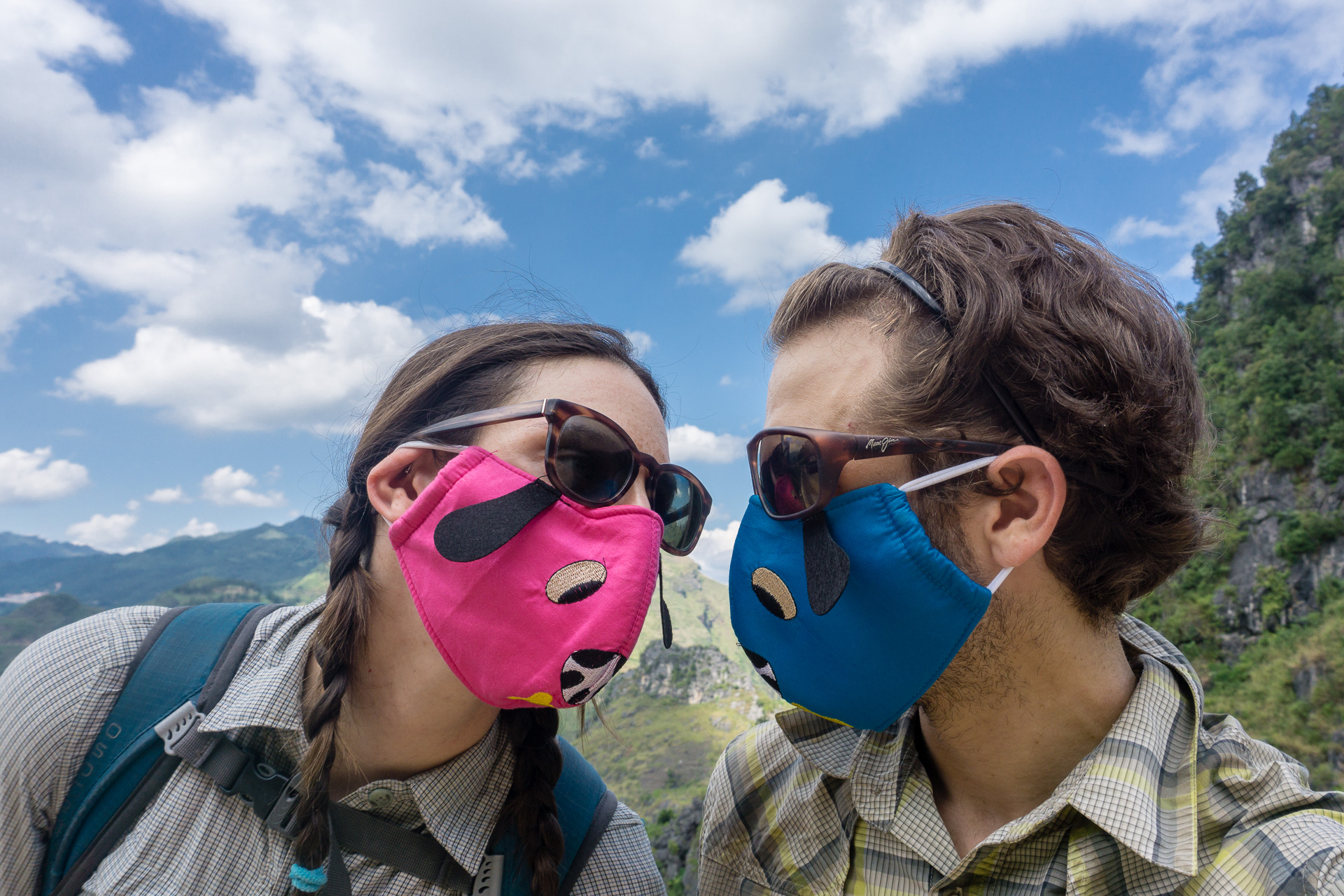
Scott seeking shelter from the sun near Vedauwoo, Wyoming
Although sporting a population of 55,000 the town seemed vacant of any real city feel. There were ample used tire centers, family-owned auto repair shops, and a scattering of restaurants. I’m not sure there 1.5 hour detour made much sense.
Cheyenne’s population is only marginally larger than Casper’s at 60,000 people, but the city felt like an actual city…though a small one at that. There main commercial street was peppered with chain restaurants like you wouldn’t believe—Olive Garden, Red Lobster, Applebees, Chipotle, Qdoba, Starbucks, McDonalds, Burger King, Arby’s, KFC, the list goes on. We were extremely disheartened to learn that despite having all the.quick eats one may desire the entire city was without a frozen yogurt shot. There was one that came up on yelp but it closed a few years back. Sylvie and I did find a very affordable grocery store and filled up on all the samples.
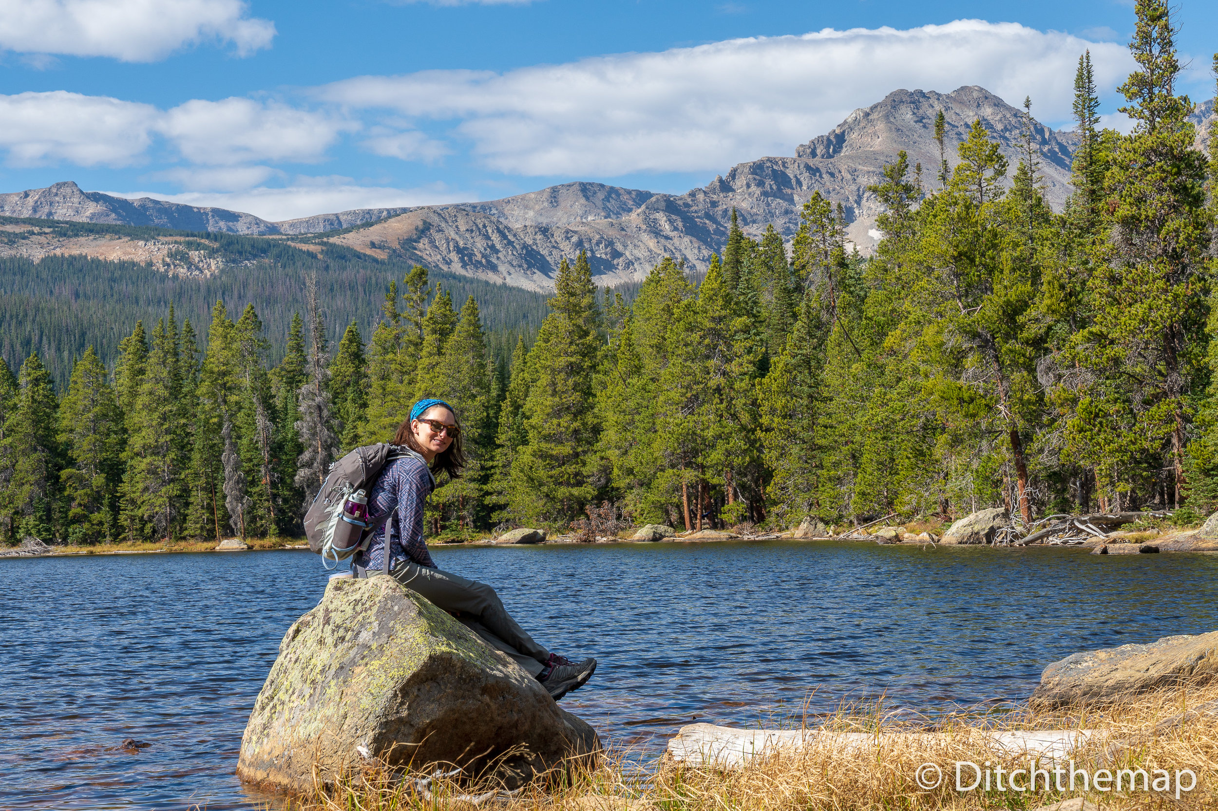
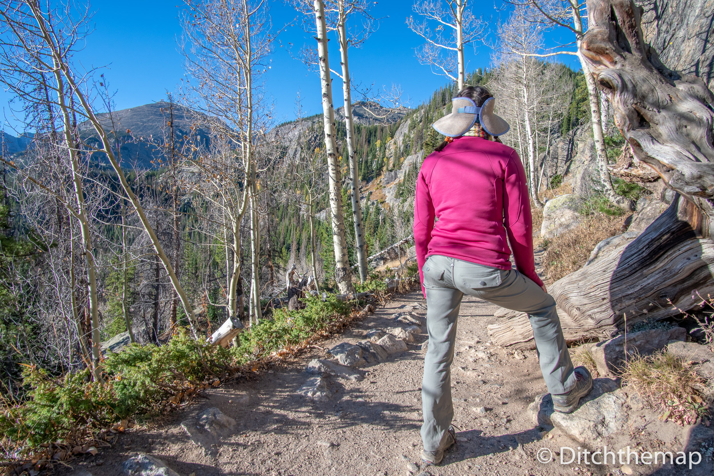
Sylvie adjusting her laces while hiking near Vedauwoo, Wyoming
We took a drive 45 minutes out of town to a small area called Vedauwoo, Wyoming. We got lost half way into our hike and made our own trail back. If you stay in Cheyenne I highly suggest you take this hike as it’s really the only option in the area.
Entering the Rocky Mountains
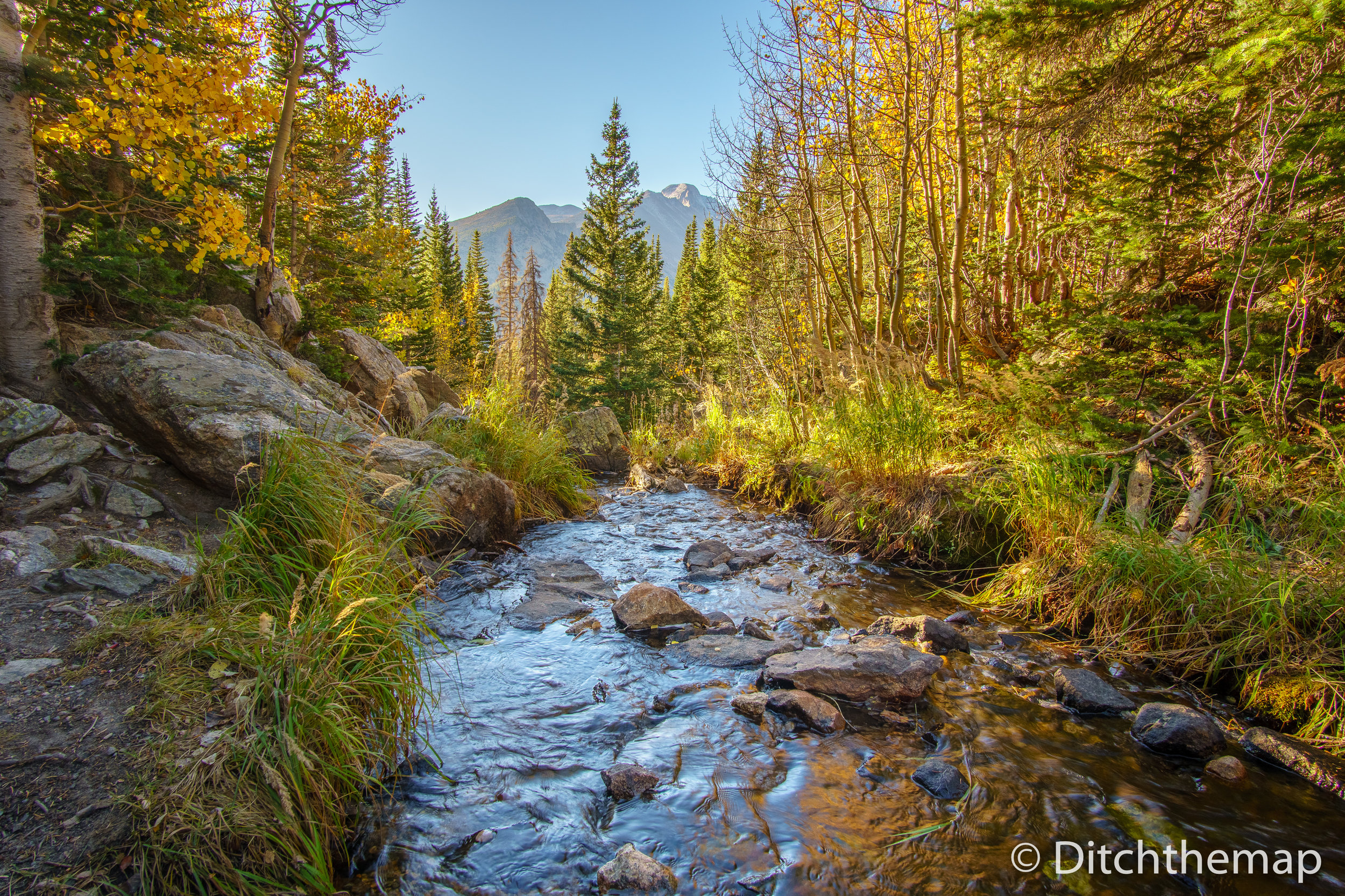
The entrance to the Rocky Mountain National Park from Cheyenne was a short drive, less than 2 hours. We found parking at the main visitor center—Beaver Meadows Visitor Center—which is just after you drive through the tourist town of Estes Park, CO. The campgrounds in the park were all full. At $26.50 we still wouldn’t have stayed there even if they had space. We drove down south about 30 minutes until we came to a small town called Allenspark. We took a dirt road into the quaint mountain town, which had a post office with limited hours, 1 place to eat for dinner, and another place that only served breakfast. We hadn’t had cell phone service since leaving Estes Park so this really was removed for us. We drove down a dirt road hoping that we could camp somewhere. The street we drove down was called, “Ski Rd”, and I had a slight memory of having read about it somewhere in the last day. We drove 10 minutes down a very rough gravel road until we found a very nice guy—we later learned that his name was Bill.
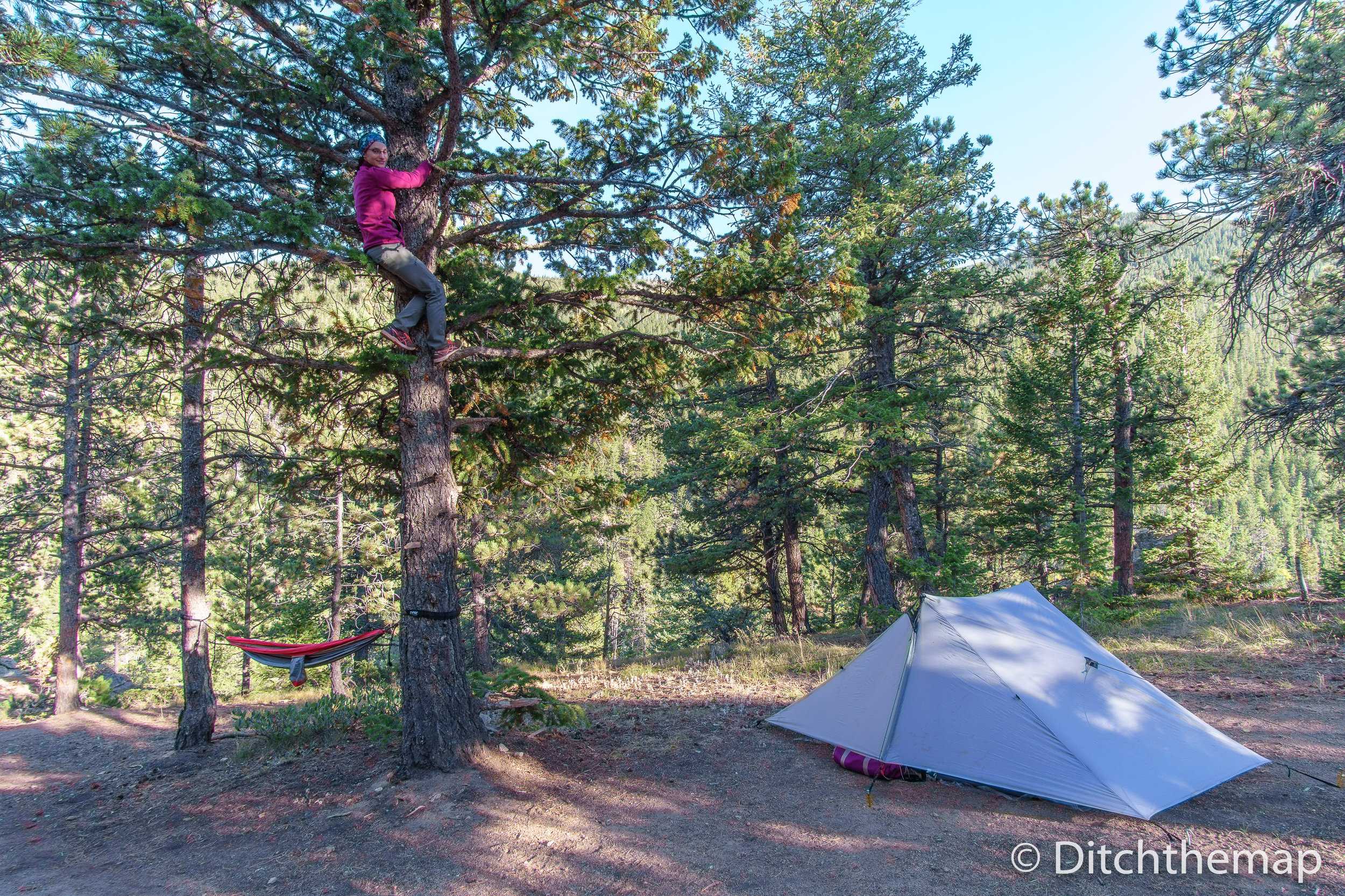
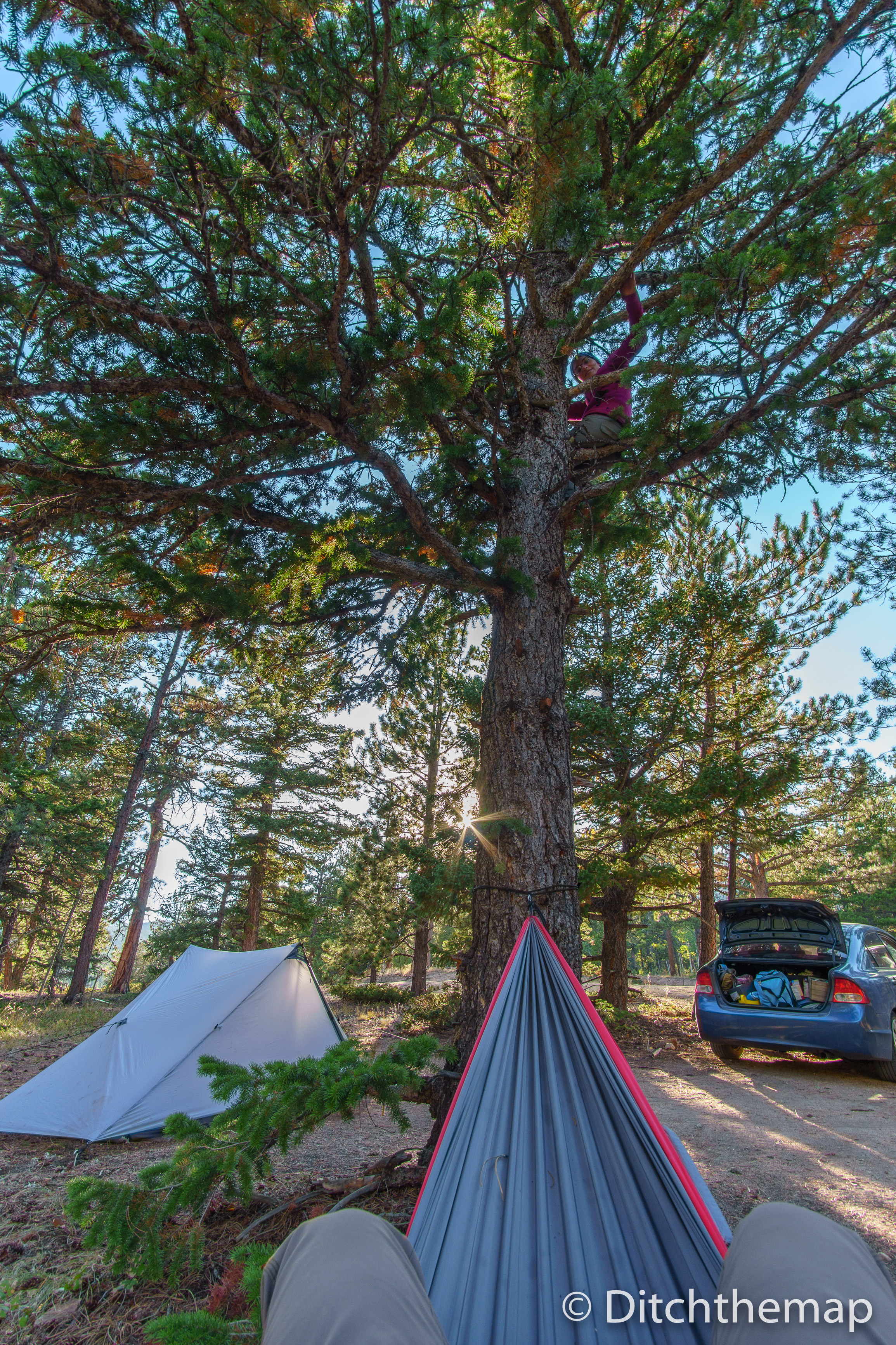
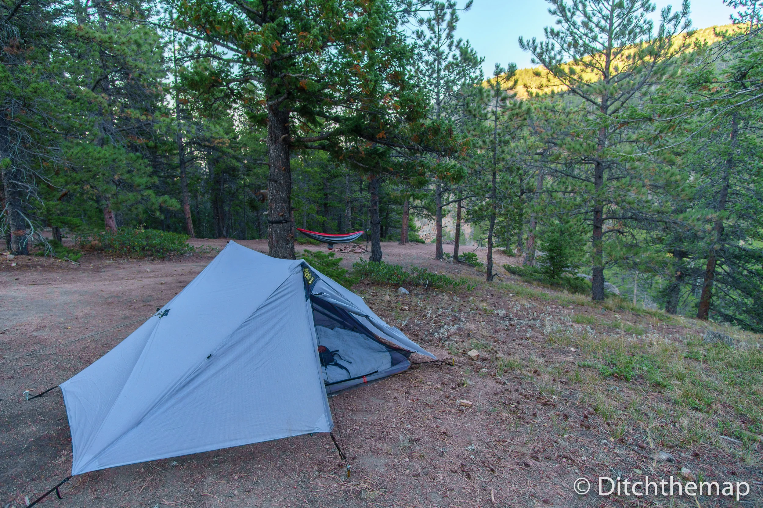
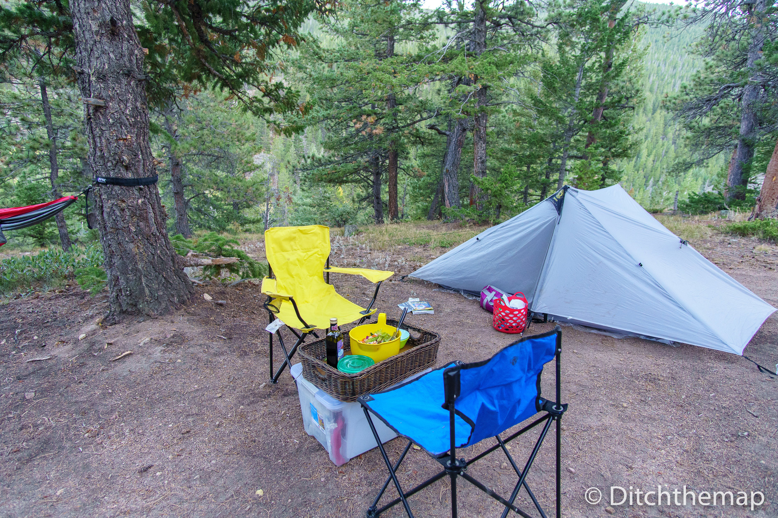
Bill informed us that Roosevelt National Forest, which was only a few more hundred feet from where we were, had free camping. We spoke for a little and then drove off into the distance. Sure enough within the next 3 minutes we found a good enough place for us to pull off the road and set up camp. We would call this place home for the next 4 nights. There is a water spigot at the trail head in the National Forest, but it contains salmonella so it’s vital to filter, treat, or boil prior to consumption!
After our first night we decided to relocate our tent…we had pitched it on a slight slope. Our mattress and sleeping bags kept falling towards the bottom of the tent. We woke up the next morning balled up at the foot of our tent!
Map of Saint Vrain Mountain Trail in Roosevelt National Forest
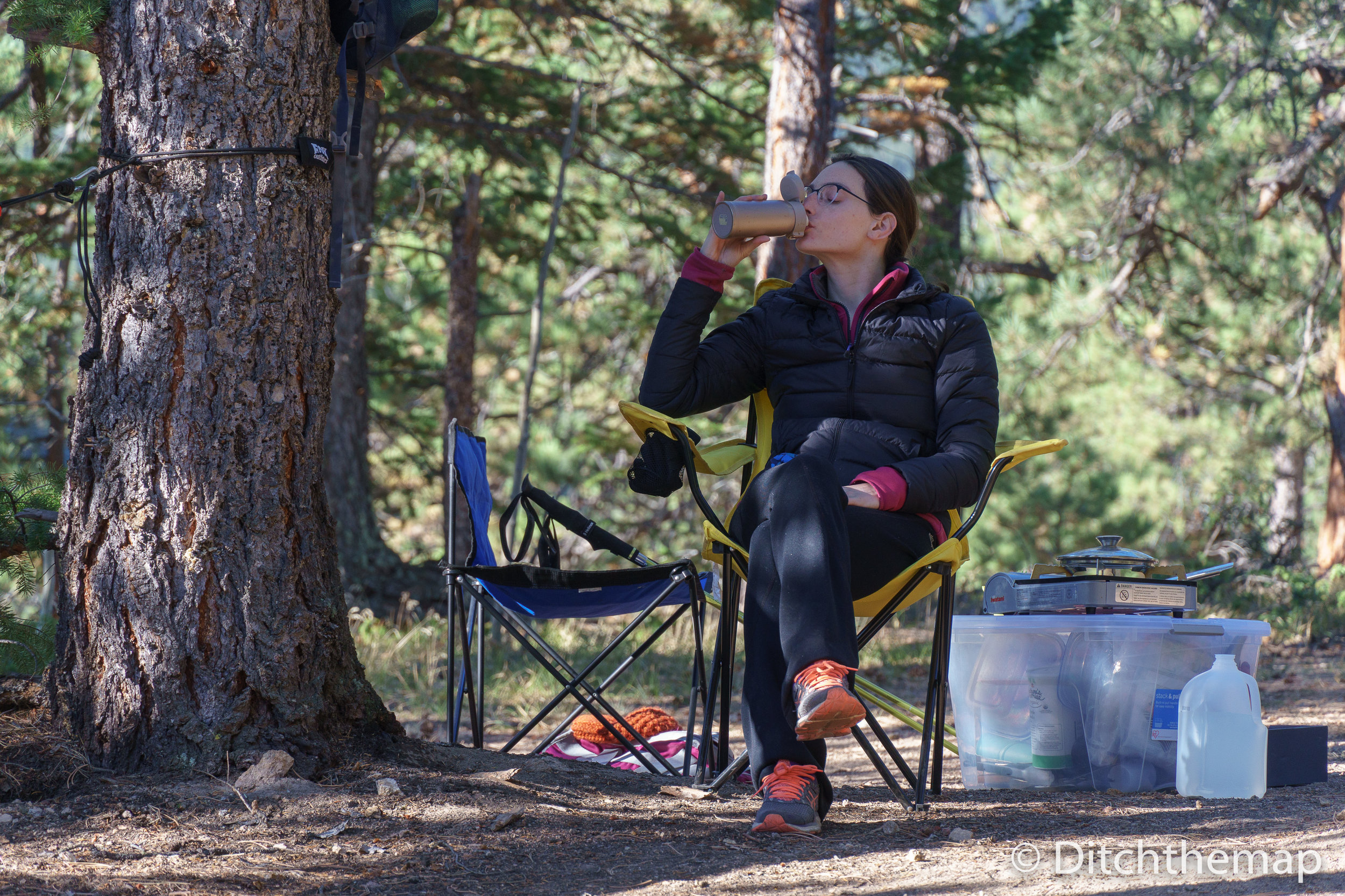
After settling in for a bit we took a short walk deeper into the National Forest before sunset. We came across Bill a second time, this time we stopped and talked for 15 minutes or so. We told him about our travels and our current plans. He told us how he and his wife have a cabin in Allenspark and visit here every few weekends throughout the year. He suggested we hike up to see Meadow Mountain via a trail that traversed Saint Vrain Mountain. I believe this trail was labeled “915”. Bill told us about the pizzeria in town and said that they had good beer on tap.
Saturday was National Park Day—every National Park in the USA is free—we decided to stay out of the park on Saturday and opted to remain in the National Forest.
We hiked up Saint Vrain Mountain to the saddle to see a great view of the Rocky Mountain National Park from the south, but the pass was extremely windy and cold we we didn’t linger long. We ate a lunch and hustled back down. After 6 hours of hiking we treated ourselves to a pizza and beer (🍕 + 🍻 = 😃) along with some other chocolatey treats. While we were enjoying our meal Bill walked into the small mountain pizzeria and walked directly to our table. He said he was heading back into the city but saw our car and wanted to come in and say hi. He was such a wonderfully nice man! Click here for a trail map of the hike to Saint Vrain Mountain.
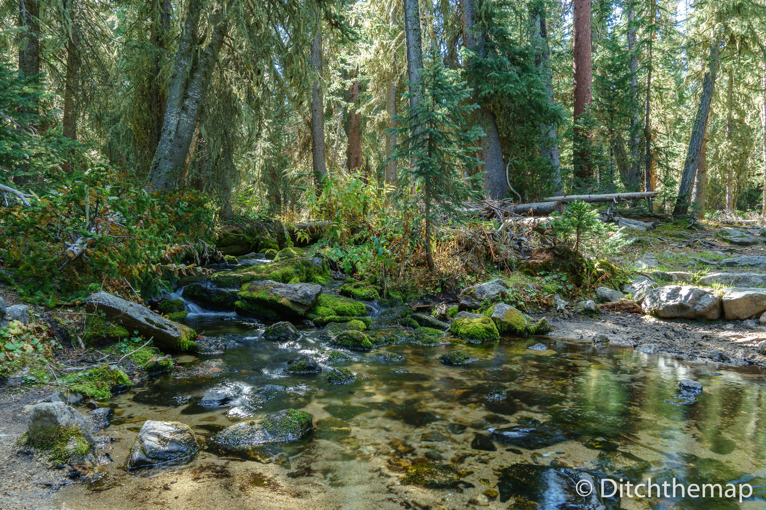
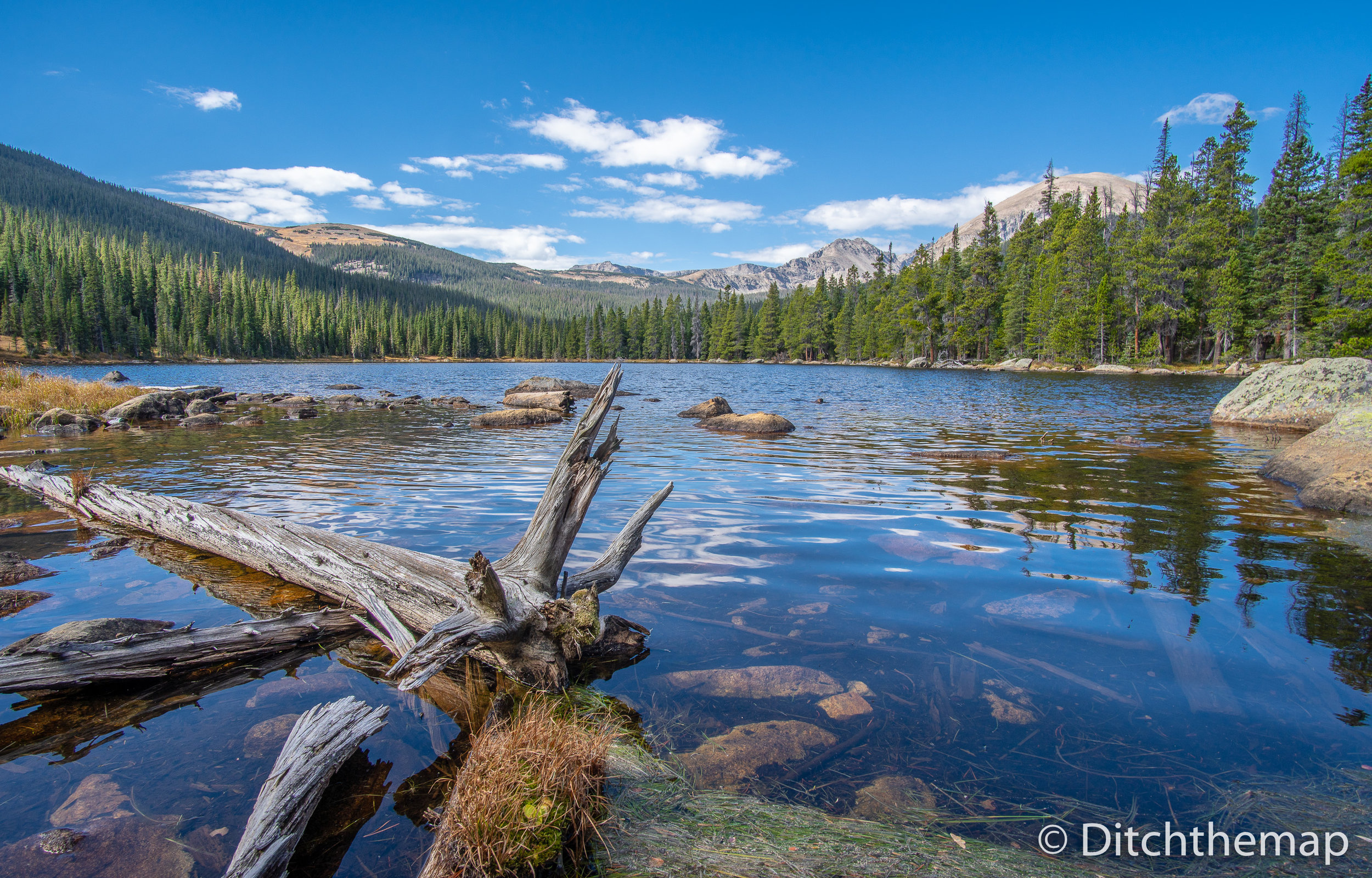
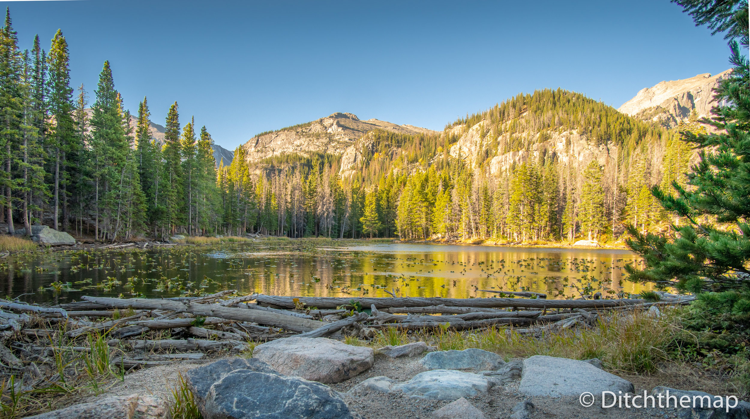
A short drive north of Allens Park, towards Estes Park, was the Wild Basin portion of the national park. We hiked 10 miles out and back to Finch Lake before heading into Estes Park to unwind and check out emails. The hike was ok, but it didn’t blow me away. The lake was pretty but the scenery leading up to it wasn’t anything to write home about.
We spent the next day driving through the park along Trail Ridge Road—which lead us along 48 miles of winding paved road to Grand Lake. Grand lake is a mountain town that acts as the western entrance into the park, though it’s much smaller than Estes Park. As it winds across the tundra's vastness to its high point at 12,183 feet elevation we saw the trees disappear and snow cover the landscape. It was a good day to drive as it rained on and off all day.
Elevation of Trail Ridge Road in the Rocky Mountain National Park
Driving along the beautiful Trail Ridge Road
Along our drive we stopped at Milner Pass—where the Continental Divide was. If you are like me you have heard the term but have no idea as to what it means.
“A continental divide is a drainage divide on a continent such that the drainage basin on one side of the divide feeds into one ocean or sea, and the basin on the other side either feeds into a different ocean or sea, or else is endorheic, not connected to the open sea.” [wikipedia]
Lake at Milner Pass at the Continental Divide in the Rocky Mountain National Park, Colorado
So in summary—water east of the divide flows to the Pacific Ocean while water west of the divide flows into the Atlantic Ocean.
Hiking Bear Lake
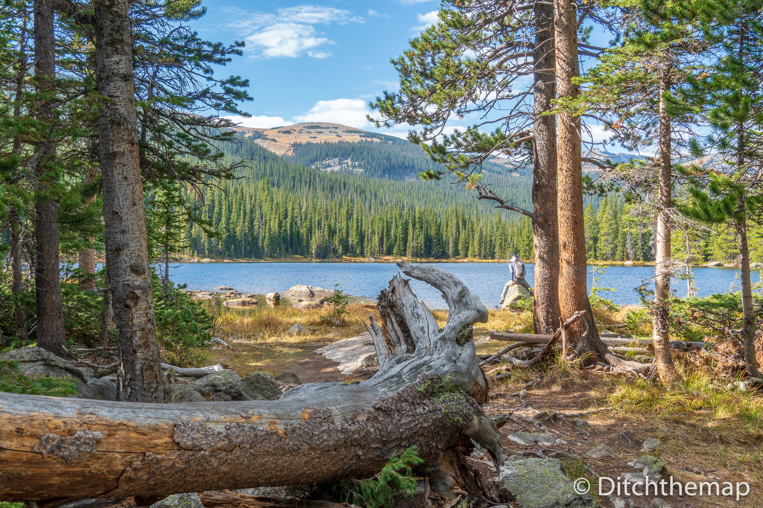
My friend Logan suggested we hike to Emerald Lake but we were turned away on our first attempt as the rangers claimed the parking lot was full. We returned the next day after waking up at 6:00 sharp and packing up camp. Even though we arrived there around 7:30 the parking lot still almost half full. The quick 4 mile hike was beautiful as we passed 2 gorgeous lakes before getting to the Emerald Lake. Good recommendation Logan! If you’re looking for a quick and relatively easy hike the Emerald Lake packs in a lot of beauty in a short stretch of trail.
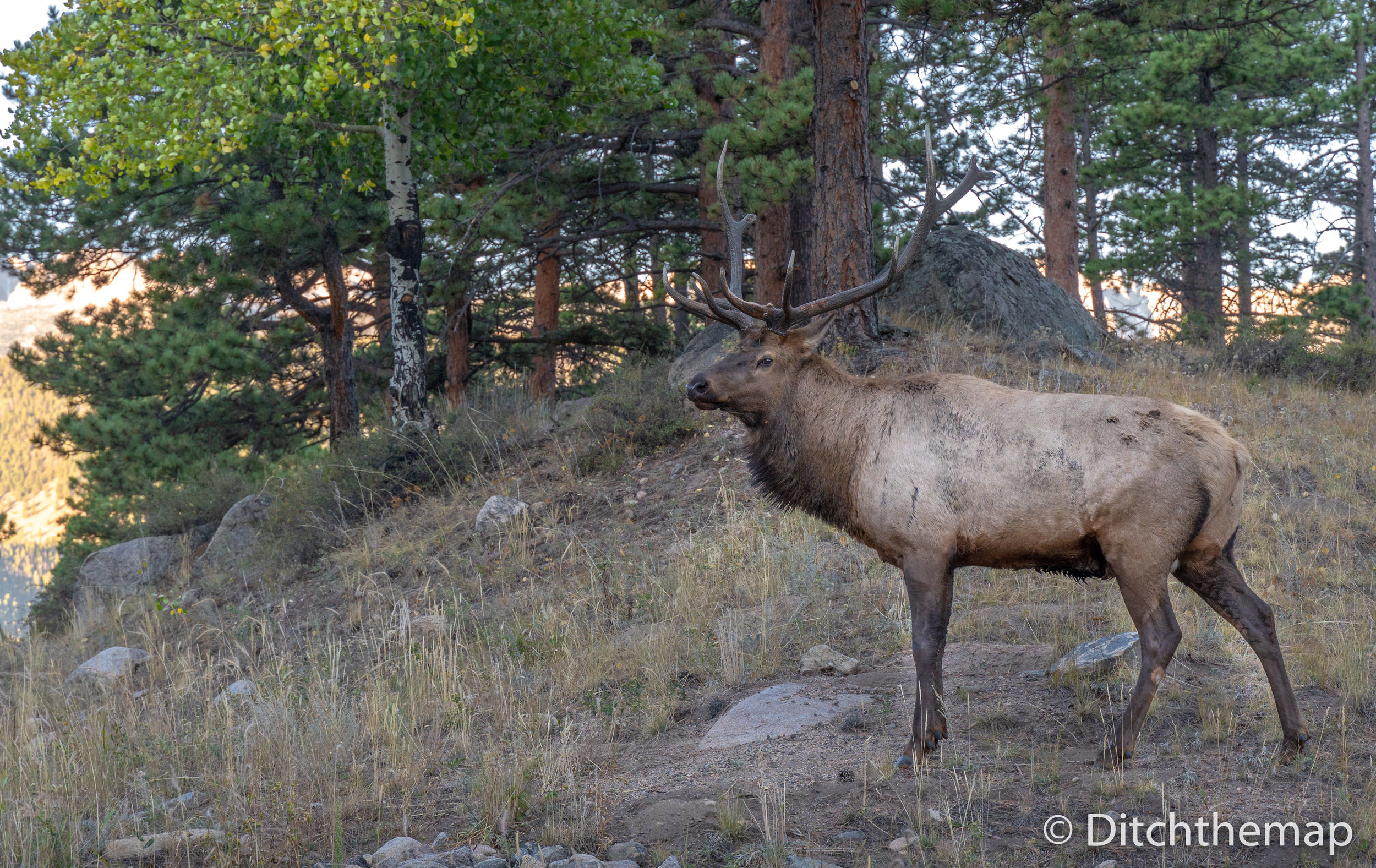
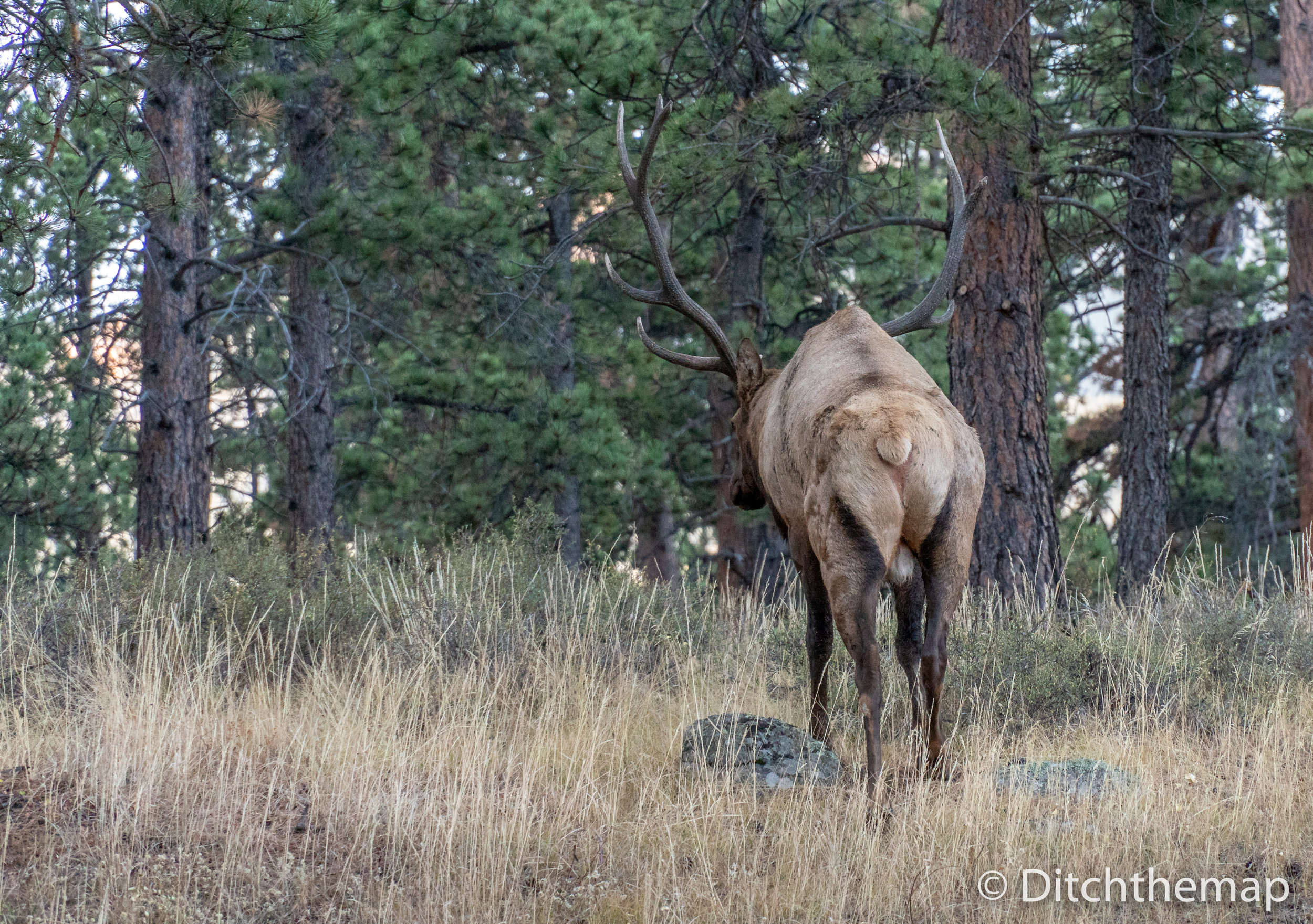
We saw ample wildlife during our early morning drive through the park.
We set a quick pace and finish the out and back hike to Emerald Lake in about well under 2 hours.
Final Thoughts: Although the Rocky Mountain National Park was beautiful we both prefer less-populated locations. The huge number of RV campers and shuttle busses takes away from the natural beauty and simplicity that being in the wild helps cultivate. What’s the point of being in this part of the world just to bring your entire house along with you?
After 4 nights sleeping for free in Roosevelt National Forest we found a nice college student to host us for our time in Denver—I feel a shower in my foreseeable future. Stay tuned!